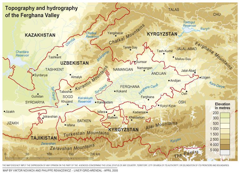
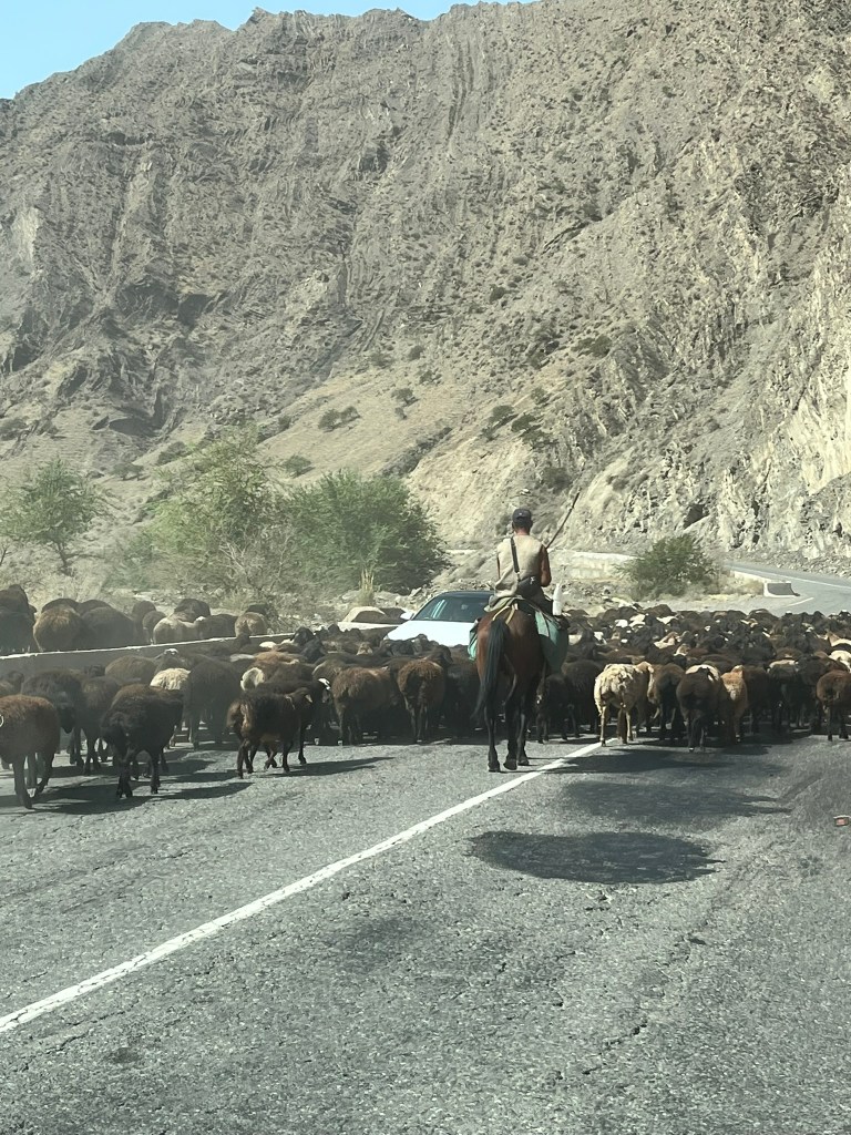
This would be our longest driving day of the entire trip. In total, with plenty of stops along the way it took us about 9 hours and we covered about 320km in distance. If you look on the map at the route we took, we came down from Toktogul to the border with Uzbekistan and hugged the border all the way around past Jalalabad City (soon to be renamed Manas distinguishing it from the city of the same name in Afghanistan) through Uzgen and finally to Osh.
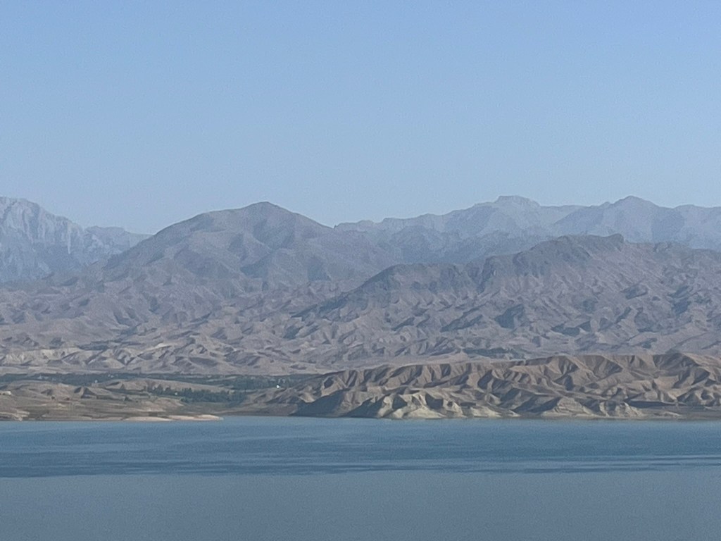
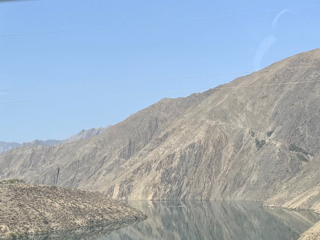
The first major site after departing Toktogul was the Toktogul reservoir which eventually leads to a series of dams and the Toktogul Hydropower Plant. It is the largest reservoir in the country and was created by damming that Naryn River in the 60’s and 70’s. It is critical to supplying electricity to the whole of Kyrgyzstan, but also regulates waterflow downstream which has been a point of tension with Uzbekistan and Kazakhstan in recent times. The Naryn river is the main tributary of the Syr Darya river and these countries rely on this river to irrigate vast fields of cotton and wheat.

In the Soviet era, water and energy was managed as a single integrated system across all of Central Asia. Kyrgyzstan and Tajikistan released water in the summer for irrigation and in return they received coal, gas and oil from Kazakhstan, Uzbekistan and Turkmenistan in the winter. However after the collapse of the Soviet Union, this agreement collapsed and Kyrgyzstan had to fend for itself, prioritising storing the water from the reservoir in the summer and releasing it in winter to generate hydropower for the country.
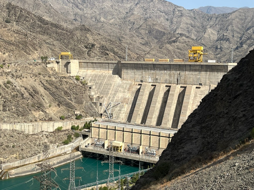
This is a seasonal dispute. In the winter when water is not needed to irrigate the vast agriculture fields it can lead to floods. And in the summer, Kyrgyzstan can control the release of water and is accused of harming its neighbouring countries agricultural economies. So whilst driving past the reservoir and the dams made a great photo stop for us, it is actually a very important geopolitical lever in the relationships between 3 Central Asia countries. Kyrgyzstan needs it for energy security, but its neighbours need it for food security and the two needs are not aligned. There have been multiple attempts at agreements since the 90’s, and finally in 2024 there was a preliminary agreement on how to operate the reservoir and agreed quotas on how water should be distributed across Central Asia during the growing season. There is also a joint agreement in place to develop another hydropower plant on the river that will improve energy security for all three countries. In the long term though, it may be climate change and the retreat of glaciers in the Tien Shan mountains that are feeding the Naryn river that become the the bigger problem for these countries.
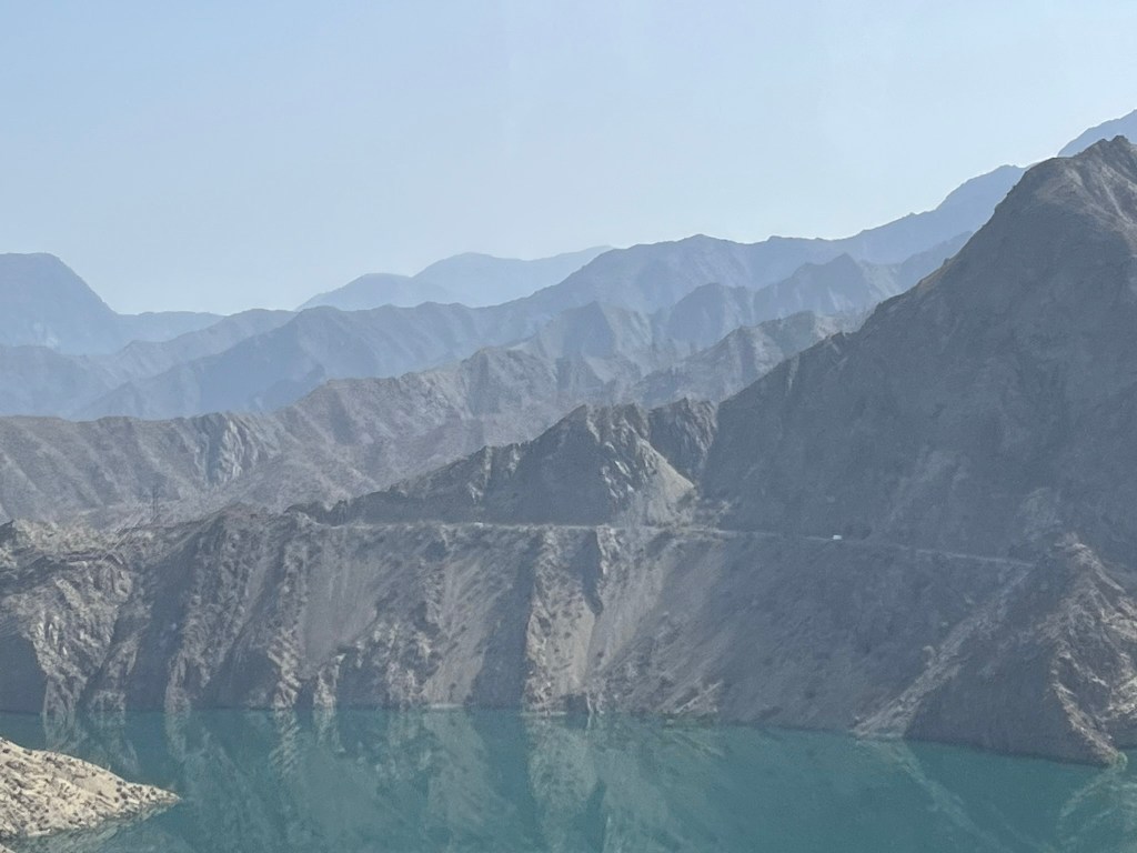
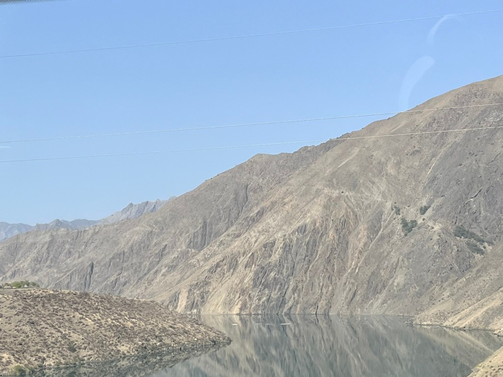
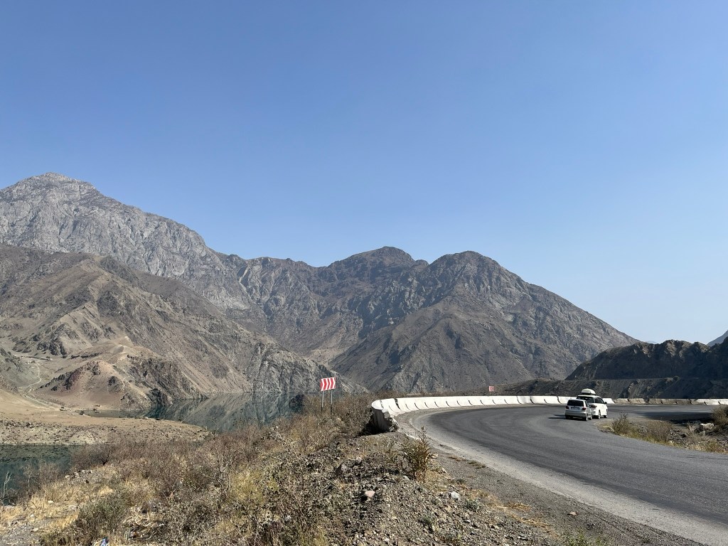

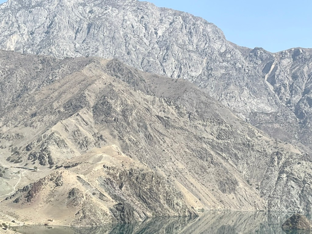
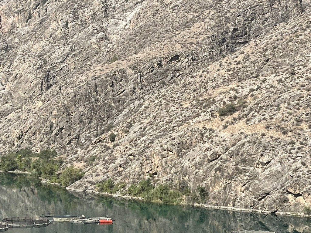
After leaving behind the reservoir, the road heads south through a series of spectacular red-hued gorges and canyons. The road hugs the river, which is so still and calm it looks like glass and creates amazing reflections from the cliffs towering over it. And suddenly the landscape switches again opening up to the rolling hills and fertile valleys of the Fergana Valley. This drive feels like you are crossing so many landscapes in just a single day. This is the most populated region of Central Asia, with an estimated 16 million living here across Kyrgyzstan, Uzbekistan and Tajikistan and it is one of the most productive agricultural areas, growing cotton, rice, wheat and fruit.
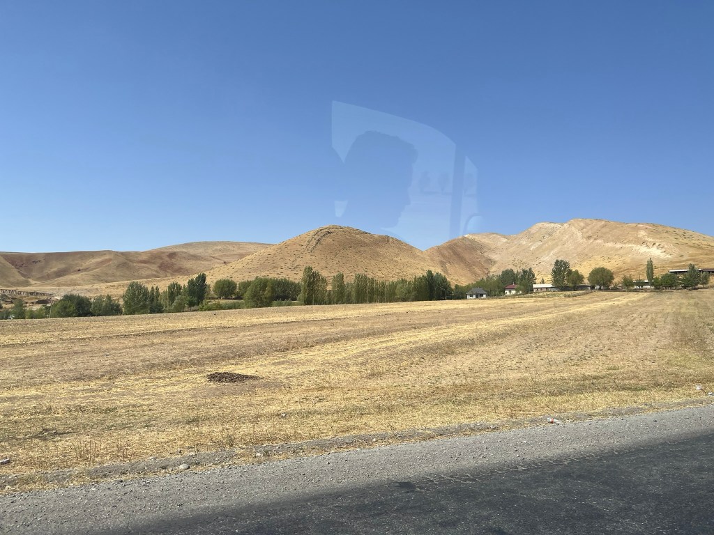

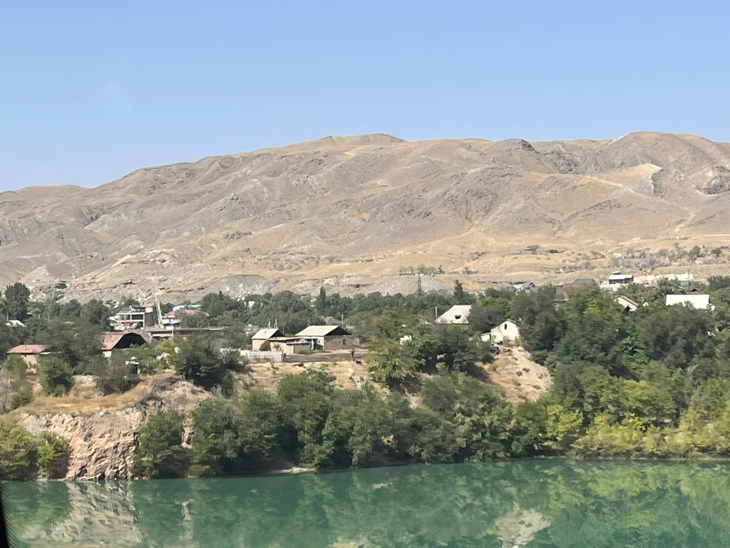


The Fergana Valley is a socially and politically complex region. There is a high pressure on land, water, and infrastructure creating competition for irrigation, farmland and jobs. This competition is often closely tied to ethnicity meaning tensions can rise quickly. The Soviets divided ethnic groups resulting in many awkwardly drawn borders and enclaves scattered across the region. And this has resulted in periodic violence between ethnic groups. The 2 most notable incidents were the 1990 Osh-Uzbek clashes driven by the growing Uzbek population in southern Kyrgyzstan, and the 2010 Kyrgyz-Uzbek clashes in Osh and Jalalabad triggered by political instability, poverty and competition for resources. 400 were killed during that incidence and thousands displaced. Even a minor incident like a quarrel in a village can ignite into something much larger in this region.
On the other side of the Fergana Valley is the Kyrgyz-Tajik border which is again highly irregular with many enclaves and exclaves. The most recent clashes occurred in April 2021 and September 2022, which included military level confrontations with heavy weaponry. The root cause of all of these border issues is the arbitrarily drawn Soviet borders that often split villages and farmlands, the scarcity of resources in combination with a dense population and weak local governance.
Another important factor in the politics, economy and social dynamics of Kyrgyzstan that it was difficult to understand until we arrived in the Fergana Valley was the significant north-south divide in the country itself. Geographically it is a divided country with the Tien Shan mountains splitting the country in half. There is currently one road connecting Bishkek and Osh connecting the north and south of the country and its only in the last few decades that this road has been tarmacked. Before it was just a gravel road.
The ethnic mix between the two halves of the country are noticeable. The south is predominantly ethnic Kyrgyz whilst the south has large populations of Uzbek and Tajik minorities. The north is more urbanised and economically diverse with a stronger government presence and the south is heavily agricultural and more reliant on cross-border trading. This all leads to quite a lot of political tension between different parts of the country. The south often feels marginalised and is often the source of opposition movements and uprisings because of this. It is easy to see in Osh and the surrounding areas, that the south is much less developed than the north.
The last few days travelling across the rural areas of the country have been brilliant but we are now back to civilisation in the Fergana Valley.


Leave a Reply