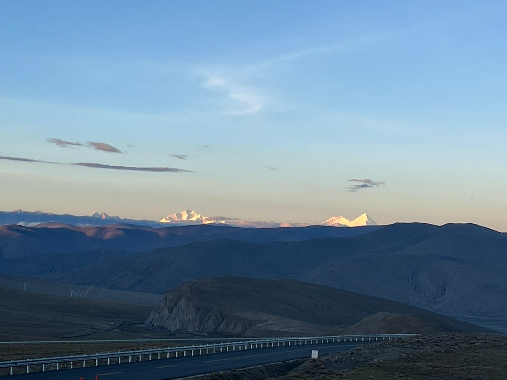
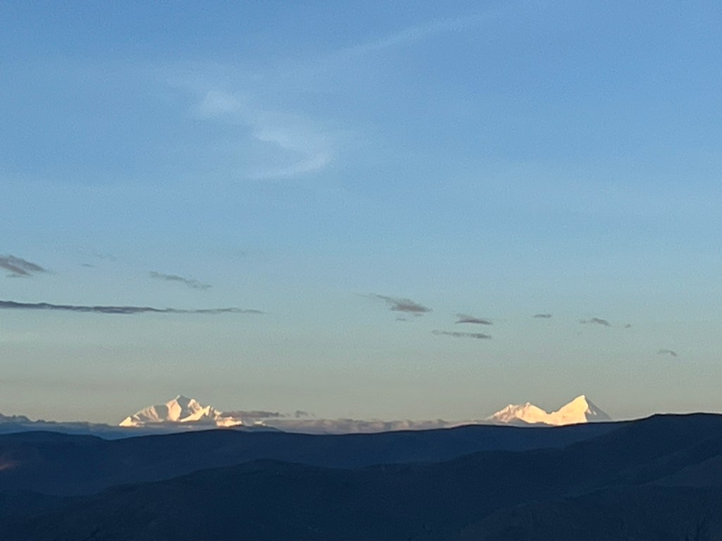
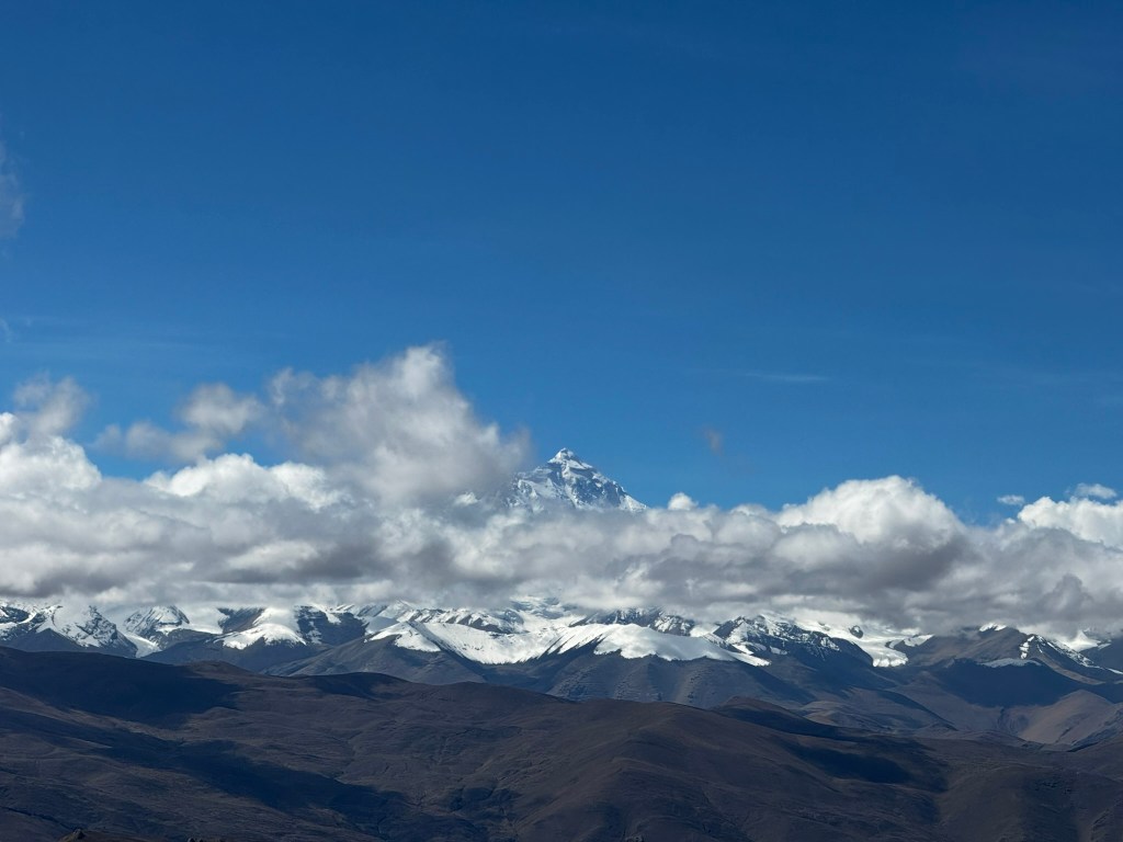
Our first glimpse of Mount Everest came just as the sun was rising at the first pass of many that we would be travelling over today. Our goal was to reach Everest Base Camp in the late afternoon. The light was perfectly catching the East side of the mountain and the mountain stood so distinctly from everything around it. This was our first wow moment of the day. In the photos, Everest is the mountain on the right. To the left you can also see Makalu and Lhotse, the 5th and 4th highest mountains in the world respectively.
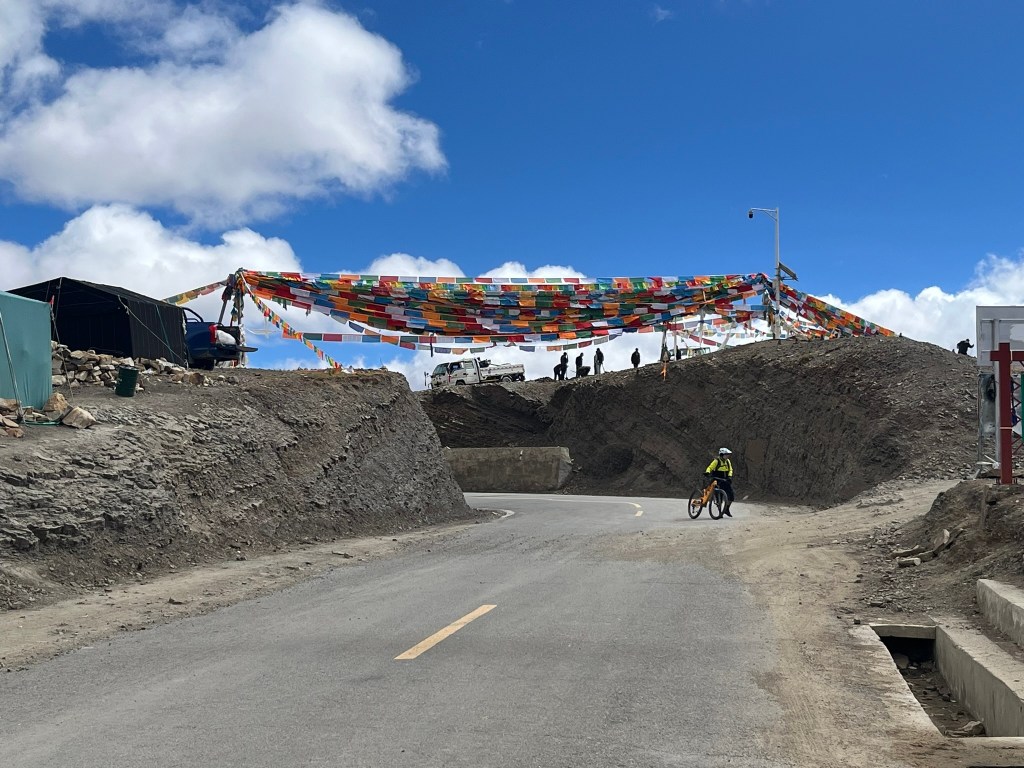
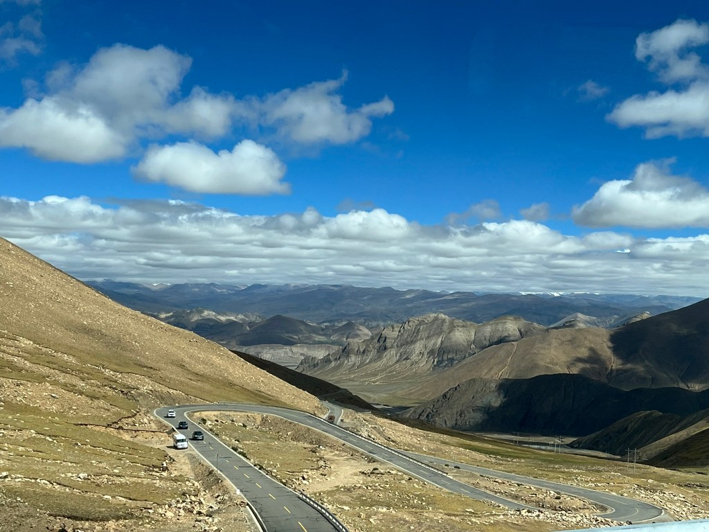
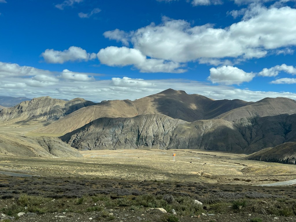
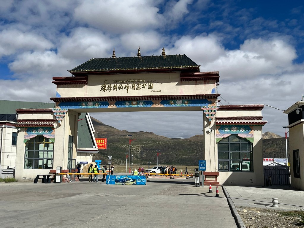
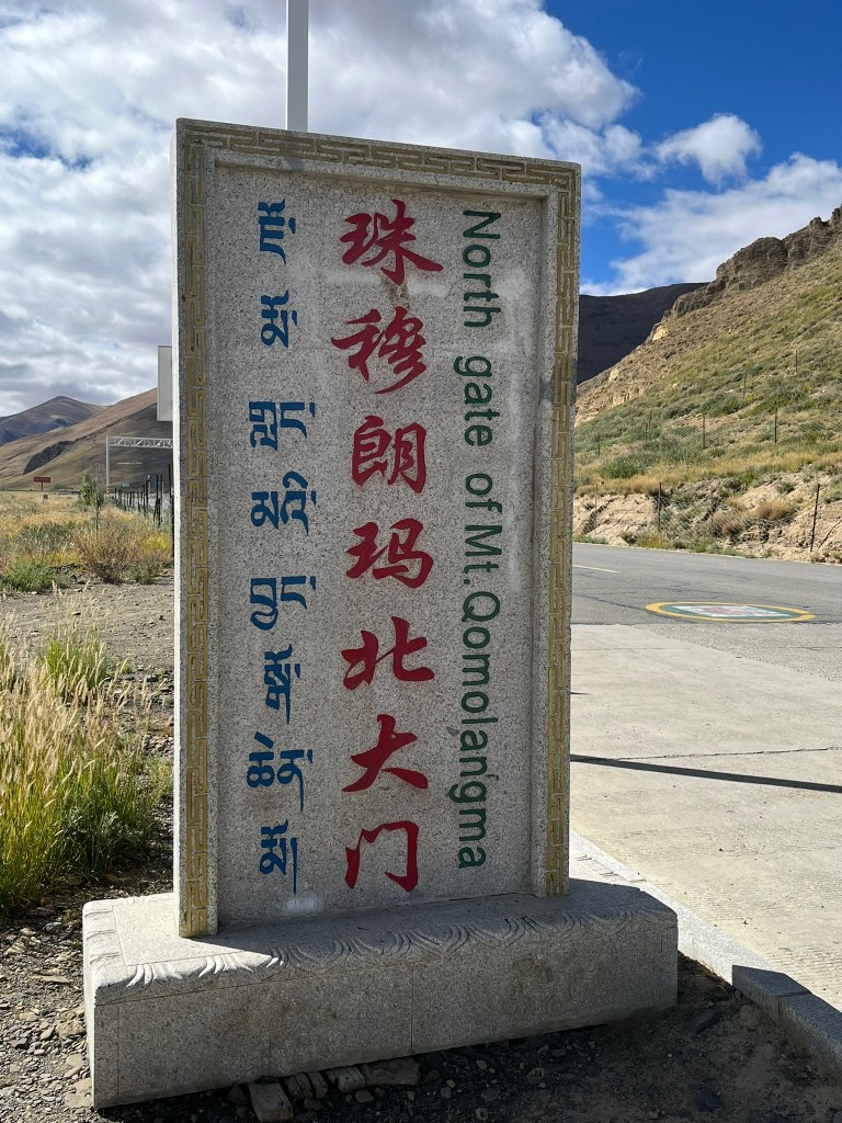
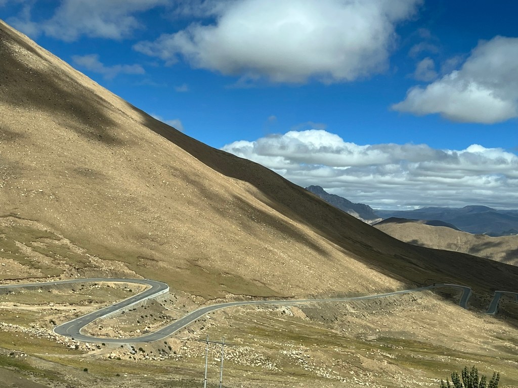
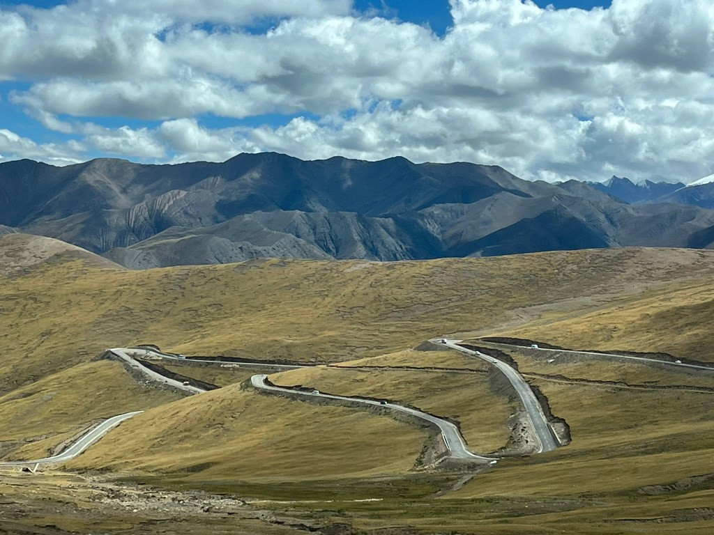
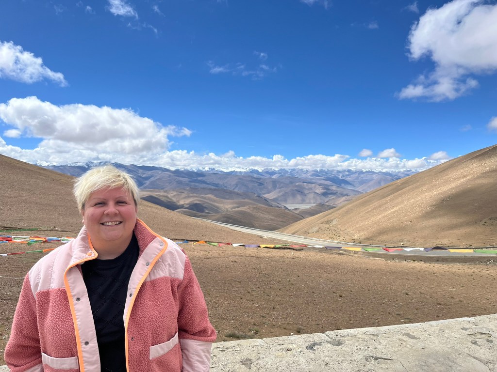
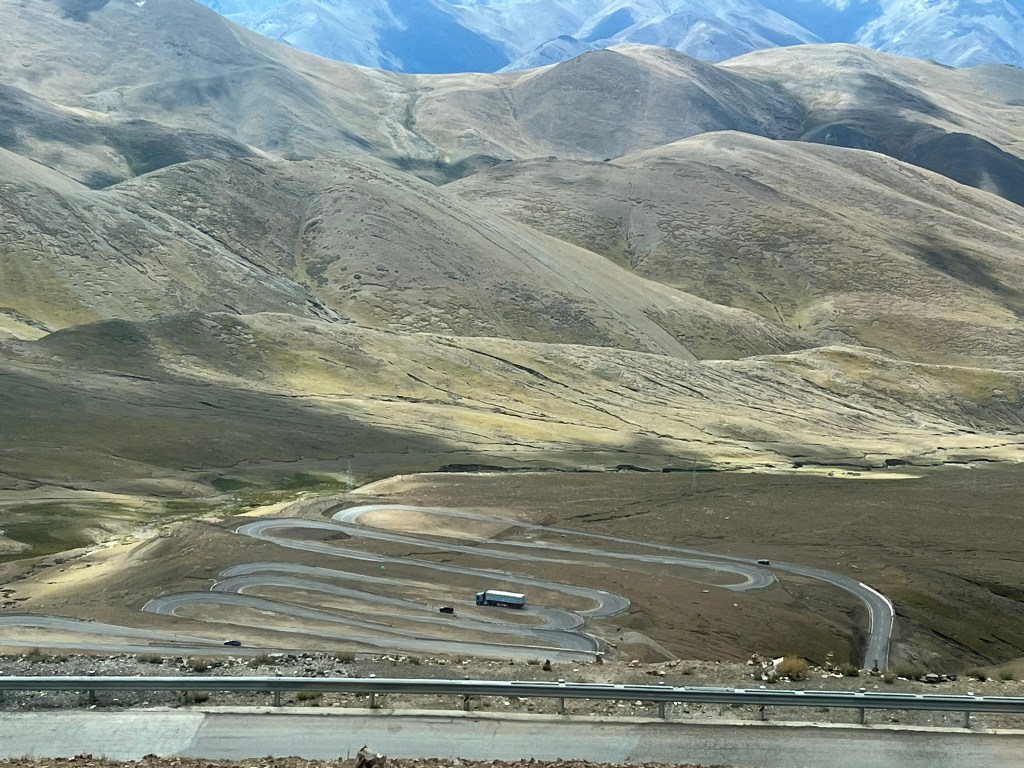
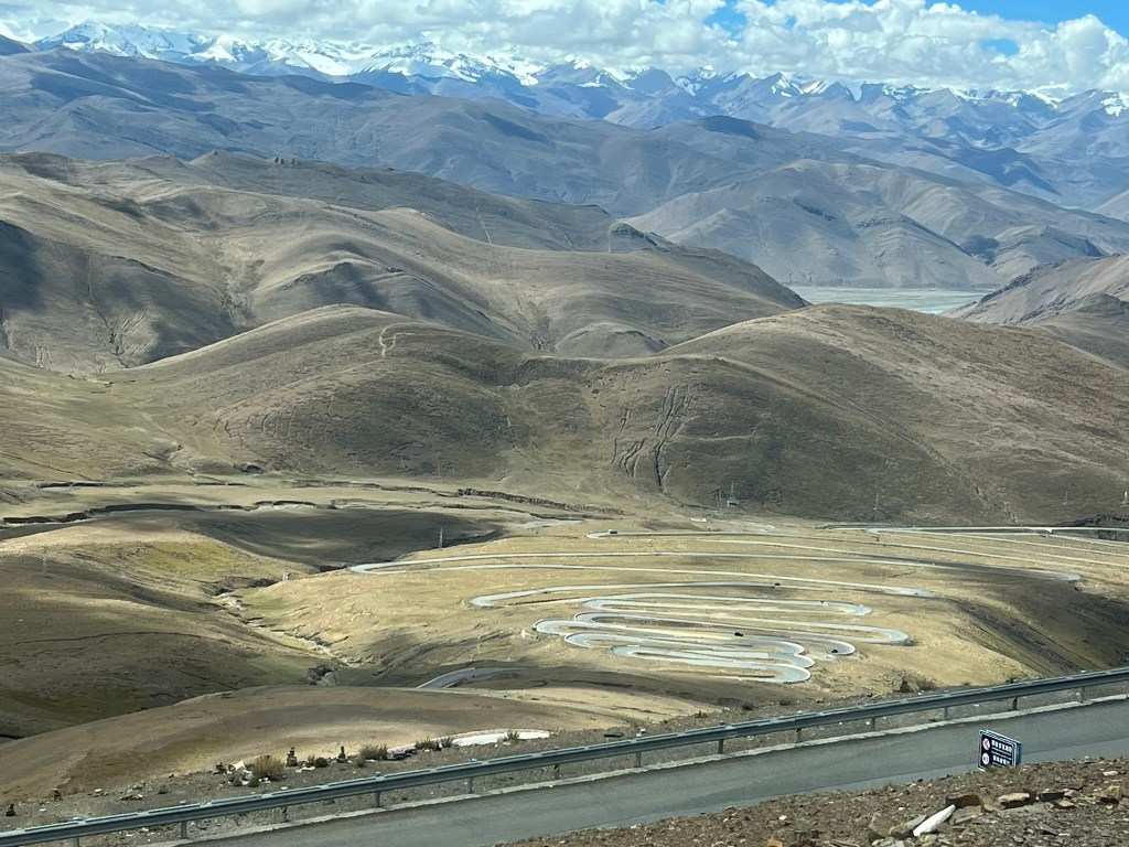
By late morning we had reached the entrance to Everest National Park and were making our way up to Pang La Pass which sits at 5000m altitude. The road itself is an experience, heading up the pass the switchbacks are tightly stacked and there were easily over 40 to get up to the top and 40 going down the other side. We went past a group of cyclists heading up the mountain pass, which looked totally insane.
We were lucky once again with the clouds at the top of the pass and the summit of Everest was fully on view. Our guide said that for his last 2 trips it had been cloudy at all the viewing spots as well as the camp we were heading to. So we felt extra lucky.
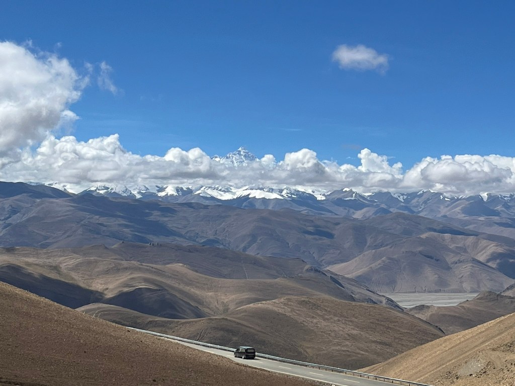
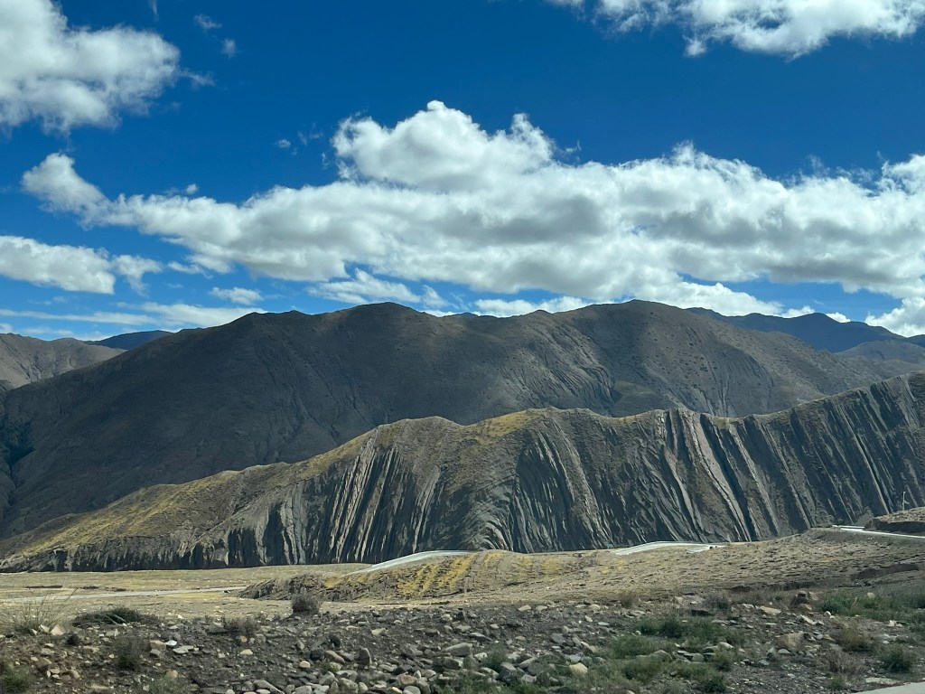
We spent about 30 minutes at the viewing platform admiring the mountain and then started the steep descent down into the next valley. It was sometimes difficult to perceive just how close we were to the mountain because down in the valleys there were villages, sweeping fields of barley and it wasn’t that cold. Plus the roads are kept in perfect condition. Not what you expect when you say you are visiting Everest! But to give you an idea of just how big the mountain is, this viewing spot was 5000m and top of Everest is over 8,800m.
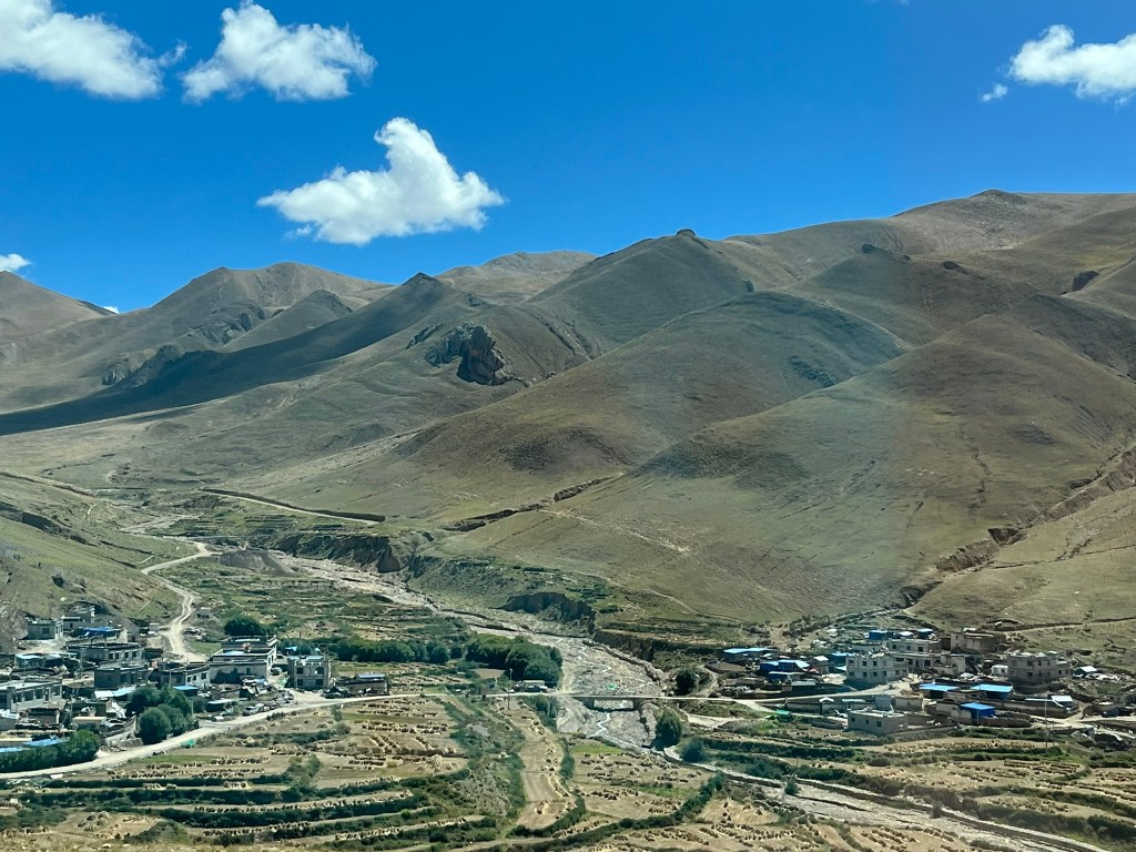
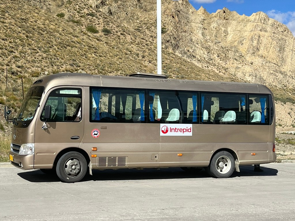
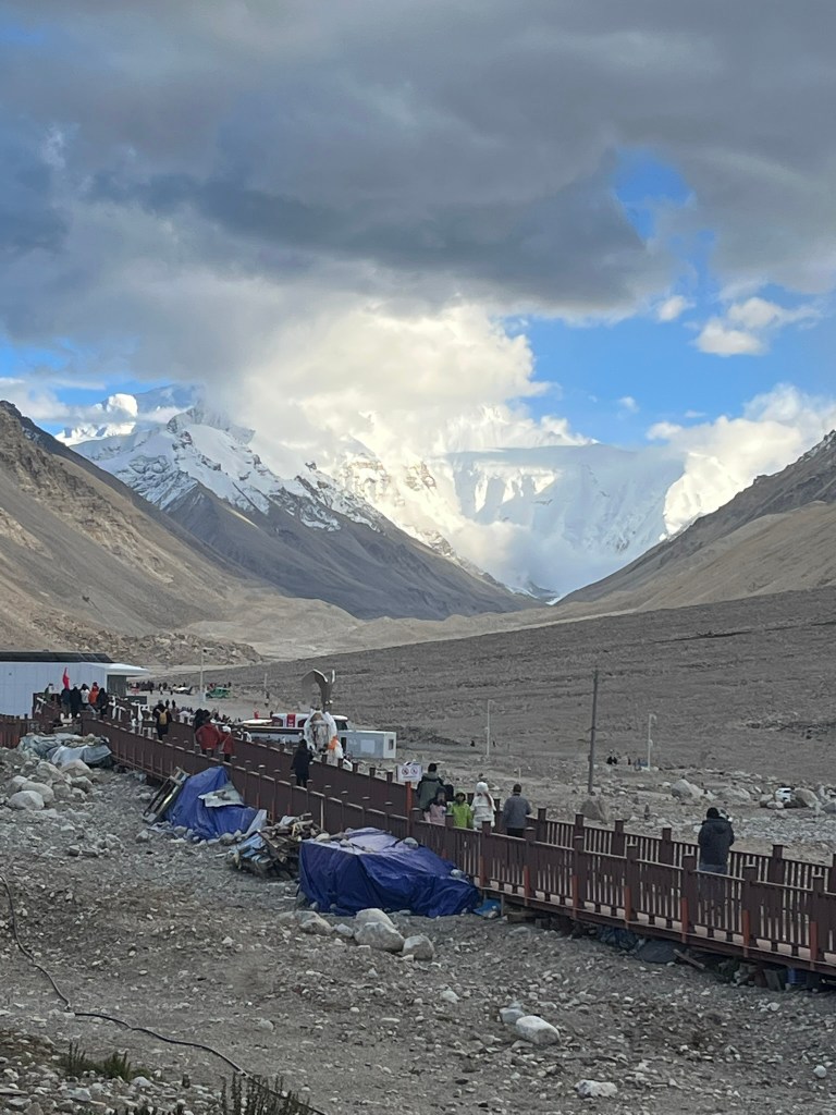
At Tashi Dzom, a small town inside the national park, everyone must transfer to electric tourist buses to go the final hour-long drive up to Everest Base Camp. We packed overnight bags and left our big bags on our bus. Again, on the drive up to the camp, you don’t have that much of a sense of just how high you are, or how close you are to the most famous mountain in the world. You pass farmers and small villages until you abruptly starting gaining elevation again and the landscape becomes barren and rocky.
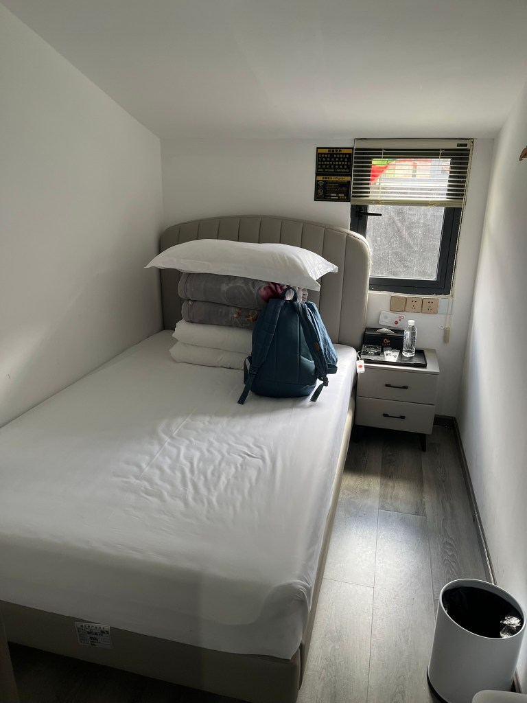
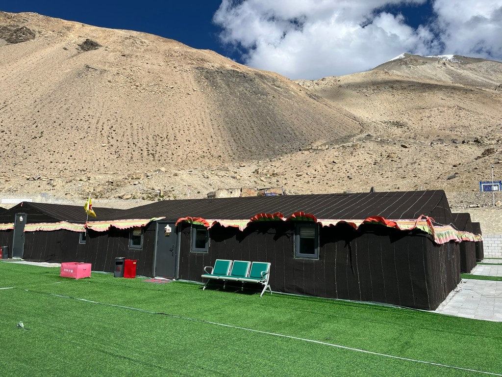
Our guide had said he wanted to keep that night’s accommodation a surprise for us, and I think we were all a little worried about what level of basic it was going to be. But it turned out to be great. The camp is an organised grid layout of about 40 large tents, each able to take 12+ people. And they weren’t really tents, more like semi-permanent structures. We all had our own rooms, with a double bed, electric blankets, plugs and bedside table. In the center we had a small living room, and there was always hot water available. The only non-luxury was walking 30 seconds to the bathroom block, which in the middle of the night in freezing cold conditions wasn’t that much fun. In fact the campsite was a little dystopian, considering where we were. There were little shops, a post office and even a bank set up in their own semi-permanent tents. I don’t know why I was surprised really, as this is generally how Chinese tourism operates.
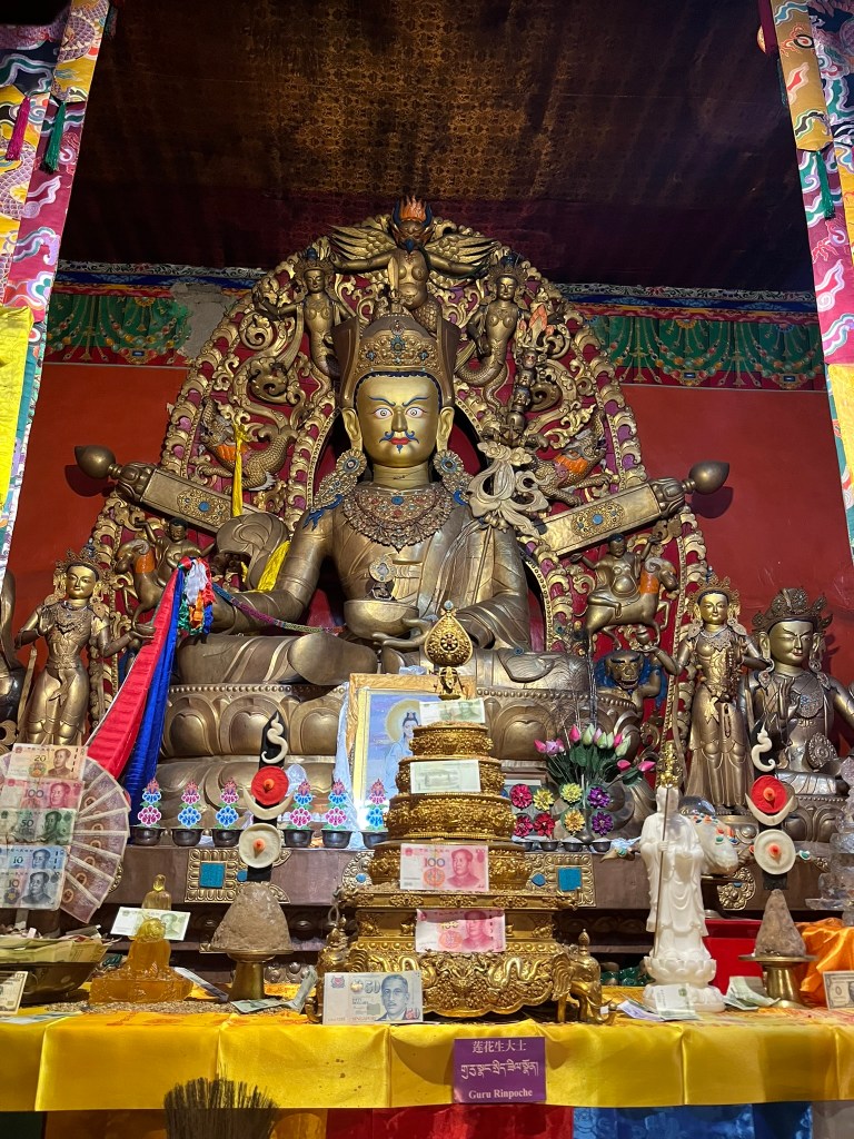
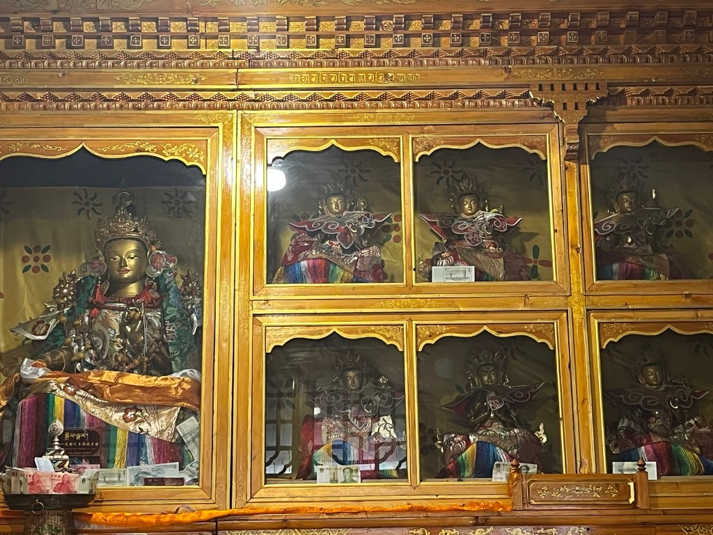
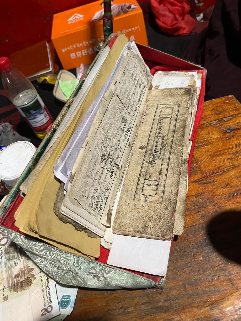
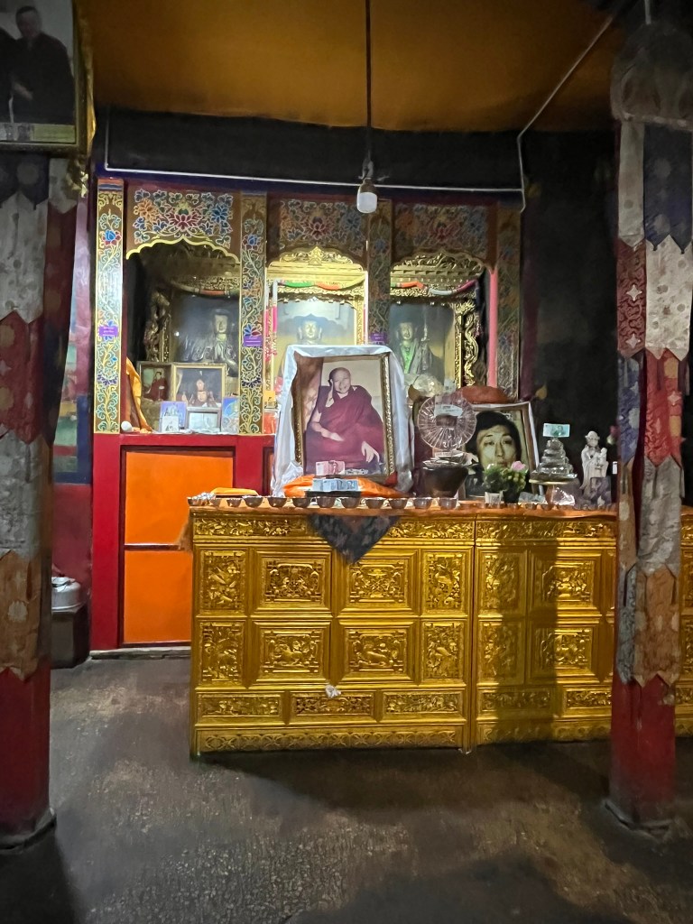
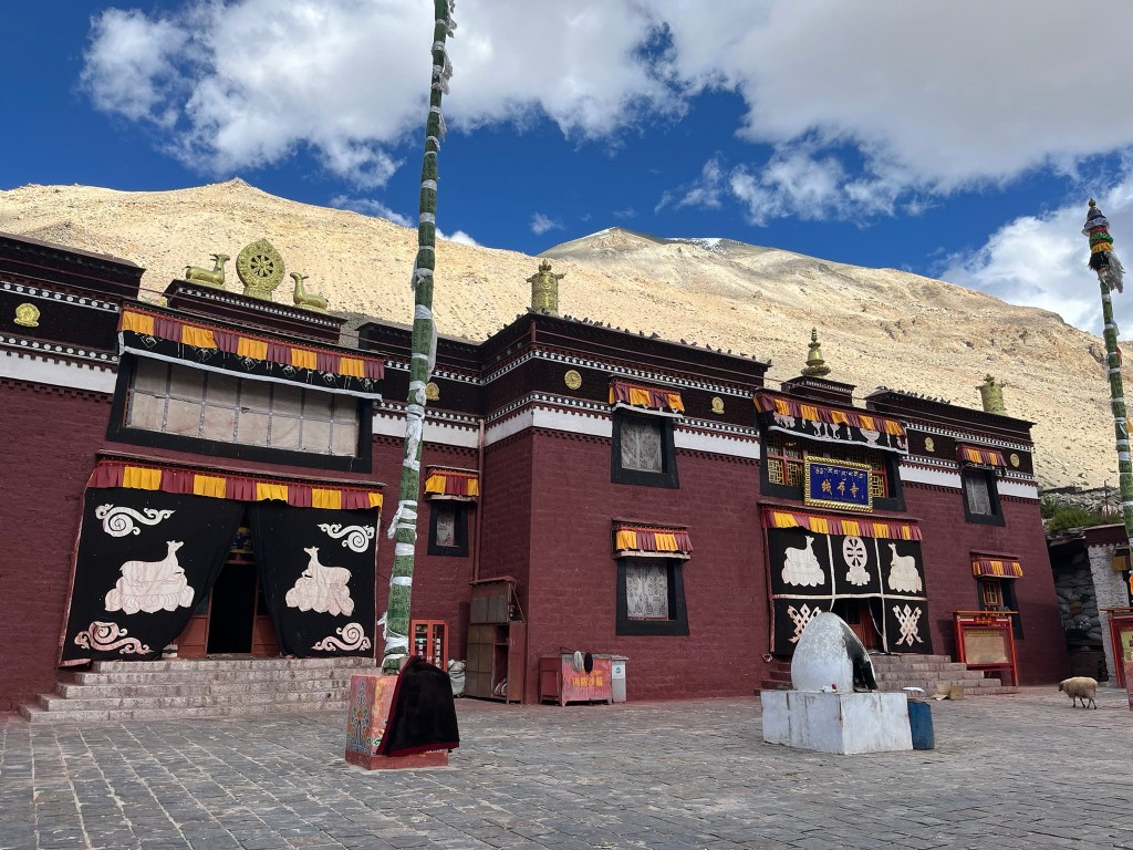
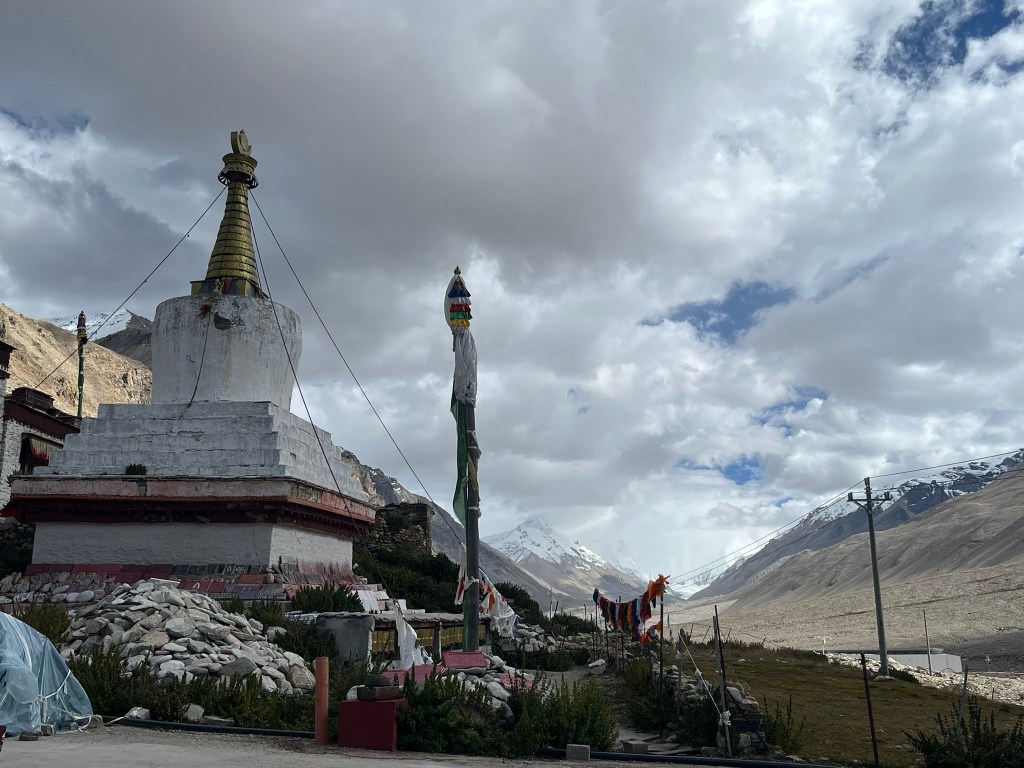
We were at 5000m so even short walks were extremely tiring. But we were excited to see Everest again! First we headed to Rongbuk Monastery that sits just outside the camp, whilst the clouds were blocking our view. This is a small monastery housing both monks and nuns and we were lucky to time our visit for when the monks were sitting in the general assembly hall, reciting scripture. The sound was almost hypnotic. This monastery belongs to the Nyingma School of Tibetan Buddhism, considered a sacred place for pilgrims doing a kora around Everest. It is said that early British Everest expeditions in the 20s and 30s passed through Rongbuk and that there are photos taken from that time showing the climbers camping around the monastery.
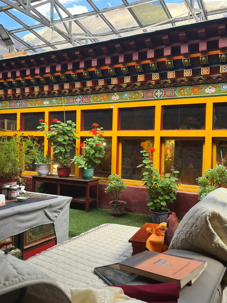
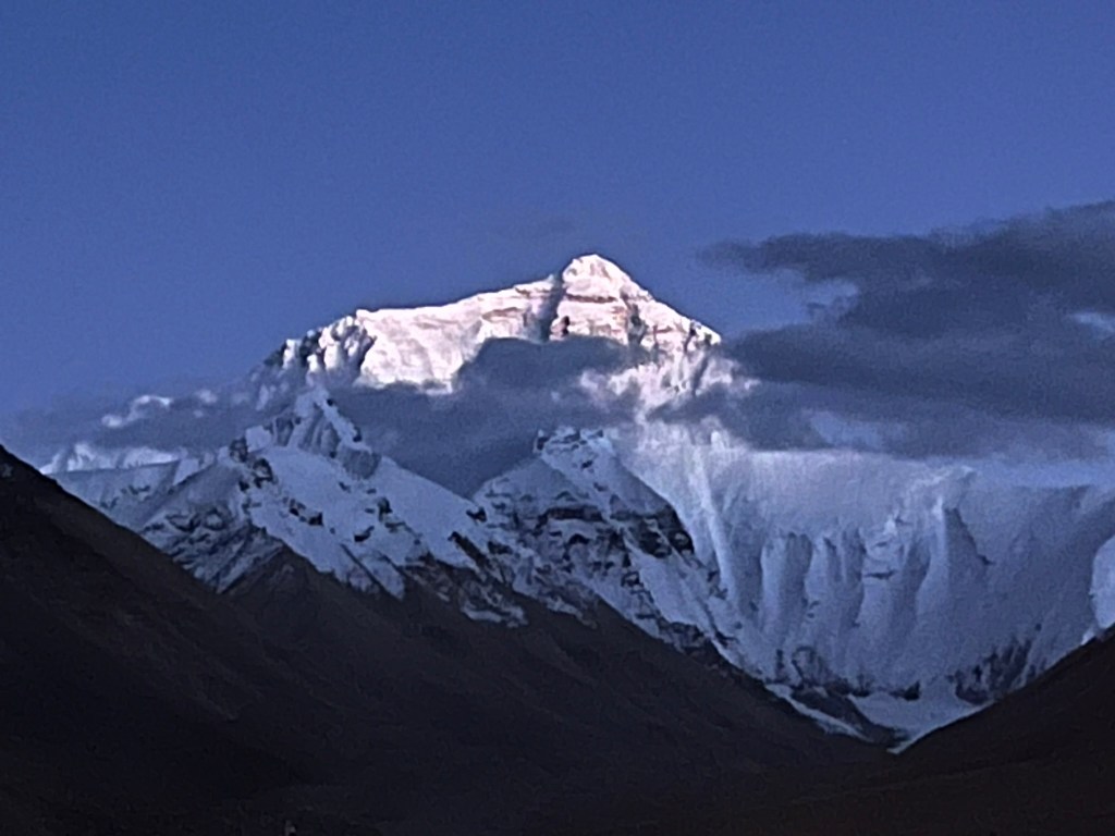
Whilst we were enjoying the views, our guide had kindly reserved us the best table in the small monastery teahouse restaurant, with a window perfectly facing the mountain. So that the minute the clouds passed we would be ready to take photos. You can only walk up the valley about 1km further along from the monastery before there are signs telling you, you can go no further. And there is a large police presence, including a police station. With very little cold weather gear with me, I decided to watch the mountain from inside the restaurant with a cup of hot tea. It wasn’t until the sun had set, that most of the clouds cleared and we were able to get some brilliant night shots of the mountain. It is as spectacular as you hope it will be.
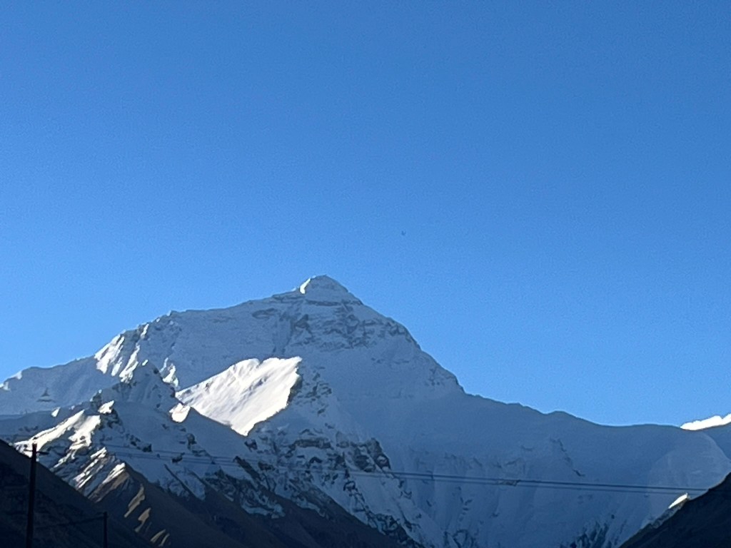
The next morning we were even luckier – all the clouds had cleared and we had a perfect view of the mountain.
And before we knew it, we were back on the tourist bus heading back down the valley and our Everest adventure was over.
Now a bit of information about Everest. It is actually called Jomolungma in Tibetan, meaning ‘Holy Mother Goddess of the World’ and the mountain is sacred to Tibetans. It is the tallest mountain on earth at 8,848m above sea level and straddles the border between Nepal and Tibet. Only around 100 climbers ascend the mountain from the Tibet side each year (compared to around 800 on the Nepal side) and it is said to be more technically challenging including a vertical rock wall that must be climbed up via ladders. There are also stronger winds and colder temperatures. But getting to Base Camp is much easier – a shuttle bus versus a 2-week trek!
One thing I was particularly curious about was why Everest is taller than all the mountains that surround it. Is there something specific about that exact location that provide the right conditions for it to reach the greatest height. A little googling tells me that its owes it height to a unique set of geological conditions. Below is a simplified explanation of what is going on.
- Everest sits directly above the collision zone between the Indian and Eurasian plate. This collision began 50 million years ago and still happening today, with the Himalayas raising a few millimetres each year.
- The Tibetan plateau has the thickest continental crust on earth (around 70km deep) allowing extreme uplift compared to other mountain ranges.
- The rocks of Everest are layered and stacked one of top of each other. At the base there is metamorphic rock, in the middle granites and at the summit there are limestones and marine sedimentary rocks (because the top of Everest used to be on a seabed)
- Its location in the Himalayan mountain range is exactly where uplift and crustal thickness align, allowing it to get slightly higher than other mountains in the range that reach similar heights like K2.
Another interesting fact is that whilst it is the highest mountain above sea level, it is not the tallest from base to summit nor the farthest from the earth’s center. Those 2 records go to Mauna Kea in Hawaii (measuring 10,200m from its deep ocean base) and Chimborazo in Ecuador (taller due to the Earth’s equatorial bulge).

Leave a reply to Kathryn Cancel reply